barge with receive antenna


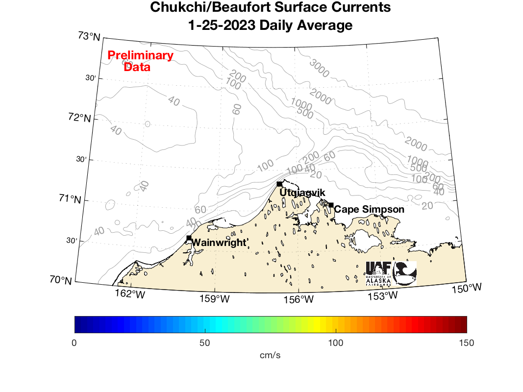
Chukchi Sea Surface Currents


uaf_logo Seth Danielson, Rachel Potter, Hank Statscewich, and Jordi Maisch
University of Alaska Fairbanks
College of Fisheries and Ocean Sciences
sfos_logo


June 2024 - Looking at the satellite image below, you can see open water beginning south of Wainwright and up the coast past Point Barrow. We are working to get our systems operational for the 2024 open water season.

Visible Satellite Image

Please contact us with questions or comments on any of the information contained in this web site.
Your observations and questions about what we are seeing are greatly appreciated!!
Special thanks to Wainwright, Utqiagvik, Olgoonik, UIC, and the North Slope Borough.

AOOS

This project is funded by the Alaska Ocean Observing System/U.S. Integrated Ocean Observing System.

IOOS

Past funders include Shell Oil Company, the United States Bureau of Ocean Energy Management (BOEM), the North Slope Borough/Shell Baseline Studies Program, ConocoPhillips Alaska, the Alaska Coastal Impact Assistance Program (CIAP), and the National Center for Island, Maritime, and Extreme Environment Security (CIMES).