


Kaktovik
- Begin Date: May, 2015
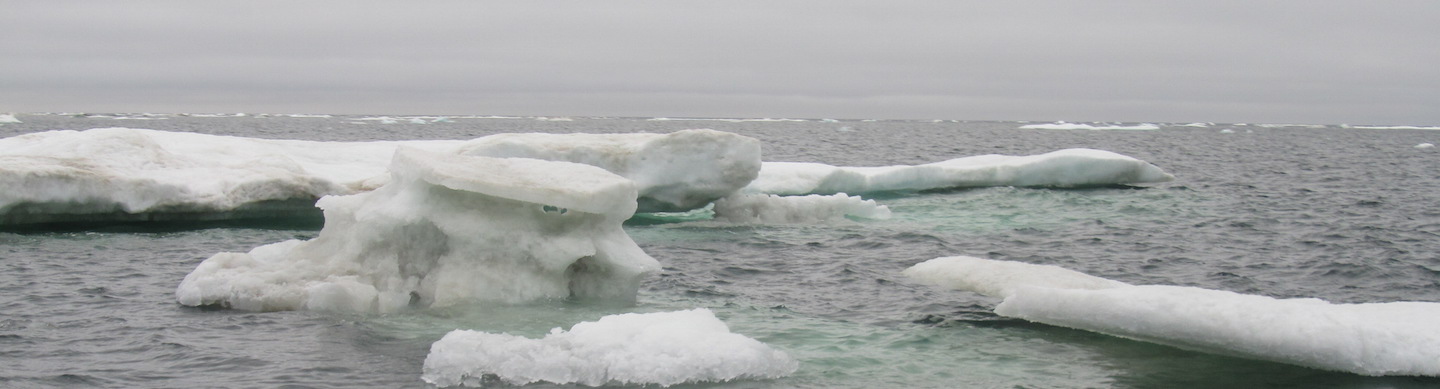
- Location: Beaufort Sea
- CastAway CTD Data
Objectives and Methods
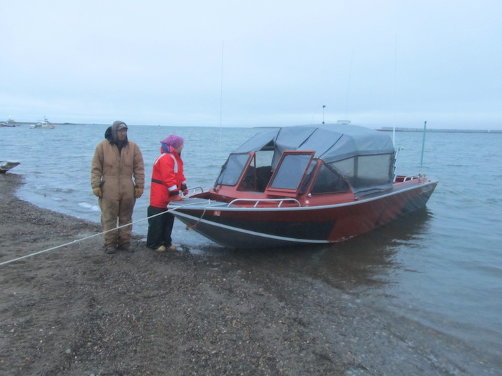
The primary sampling in Kaktovik will be nominally monthly CTD measurements by Lee Kayotuk from his boat during the open water season and from the sea ice during the landfast ice season.

Participants
- Lee Kayotuk
Data
Community Overview
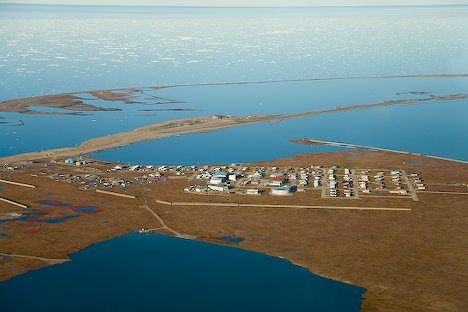
Photo credit Alaska-in-Pictures.com |
Kaktovik is located on the north shore of Barter Island, between the Okpilak and Jago Rivers on the Beaufort Sea coast. It the only village located within the Arctic National Wildlife Refuge. Temperatures range from -56 to 78 °F and precipitation is light, 5 inches/year, including snowfall averaging 20 inches. Barter Island was an important stop for commercial whalers during the 1890's and early 1900's, but it was not until 1923 that there was a permanent settlement there. Today, Kaktovik has approximately 250 residents, most of who are Inupiat Eskimos whose families have lived in the region for centuries. |
| Subsistence hunting is vital part of life for the people of Kaktovik. Both marine and terrestrial animals are hunted. Terrestrial animals include: Musk oxen, caribou, and sheep. Marine resources are bountiful. Seal, walrus, and the largest of the sea mammals, whales, are important resources. Unlike most other AEWC villages, the people of Kaktovik practice shore-based whaling for bowheads whales in the fall as opposed to the spring. Kaktovik is allotted 3 whales per year by the AEWC. (text from "Traditional Whaling in the Western Arctic, a now defunct website at University of Arkansas.) |
|
Links to more information
- North Slope Borough community page
- Artic Slope Regional Corporation community page
- Alaska Eskimo Whaling Commission